Building Surveying &
laserscanning
With passion and state-of-the-art technology, we provide non-contact surveying services for single-family homes, multi-family homes, retail spaces, and industrial facilities throughout Switzerland, with millimeter-level precision.
Using 3D Laserscanning , we survey buildings of all types with precision, comprehensively, and without physical contact. Depending on project requirements, we also use drones (for terrain and rooftops), GNSS, or total stations. The resulting point clouds serve as the basis for creating reliable and robust planning documents—from 2D plans to 3D models in CAD.
If you prefer to analyze the survey data yourself, we’ll provide you with the registered point clouds, optimally prepared for import into your CAD software.
-
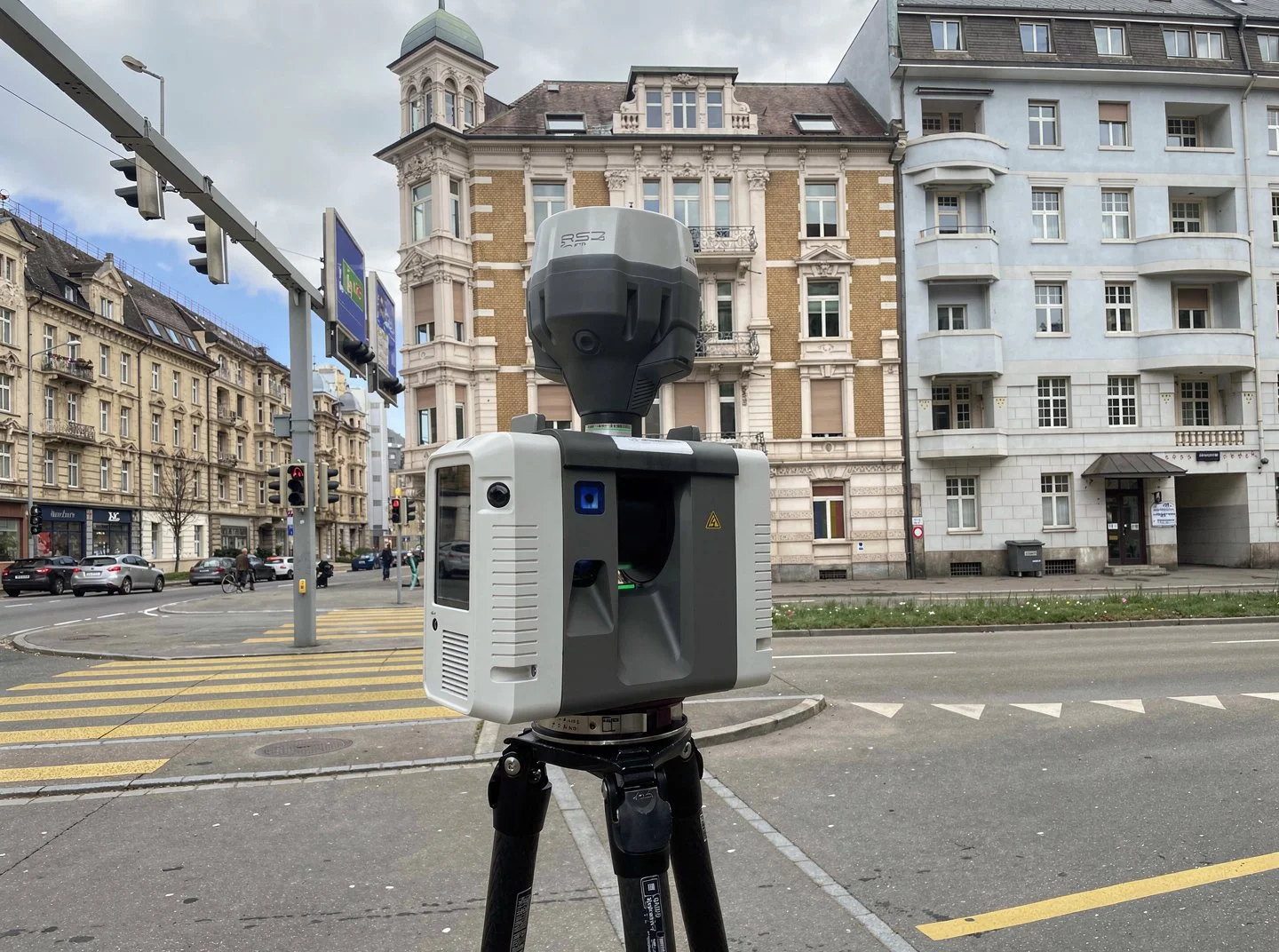
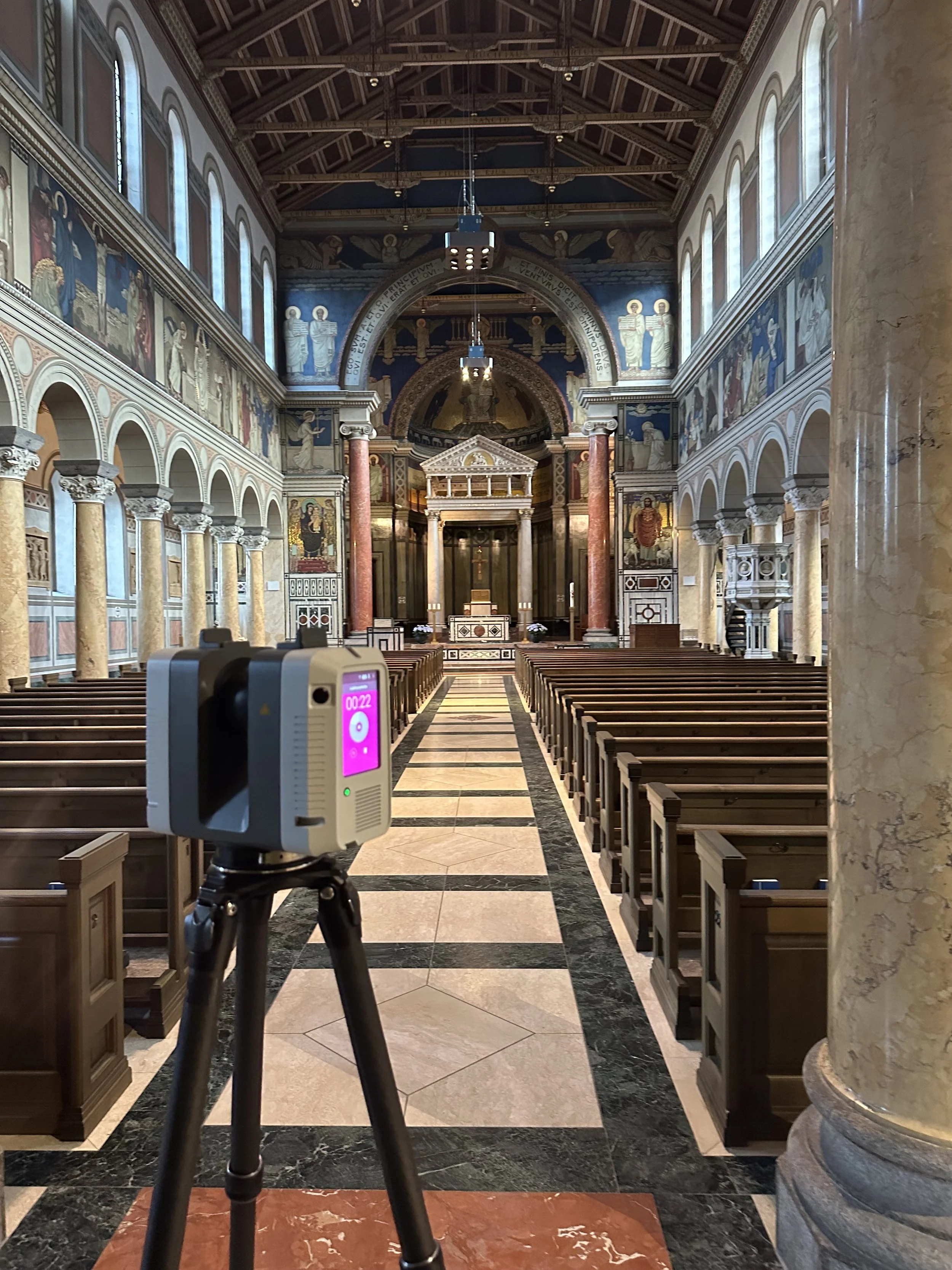
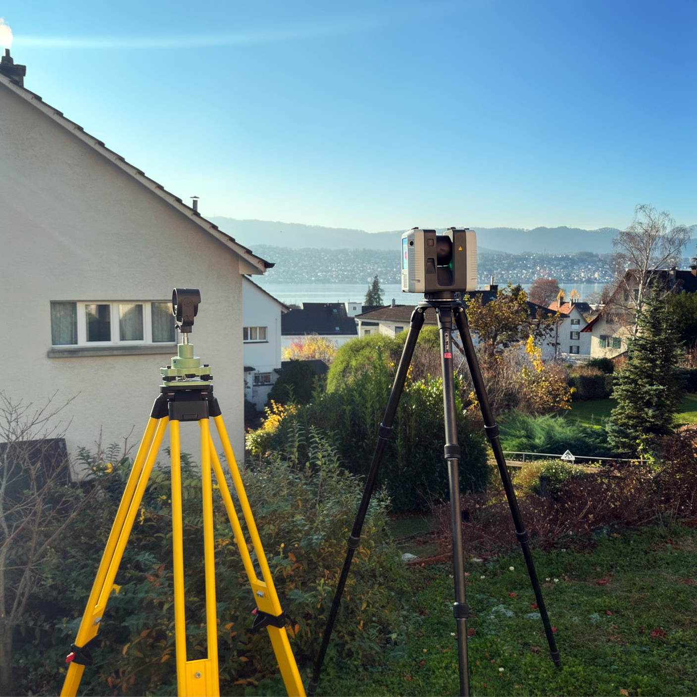
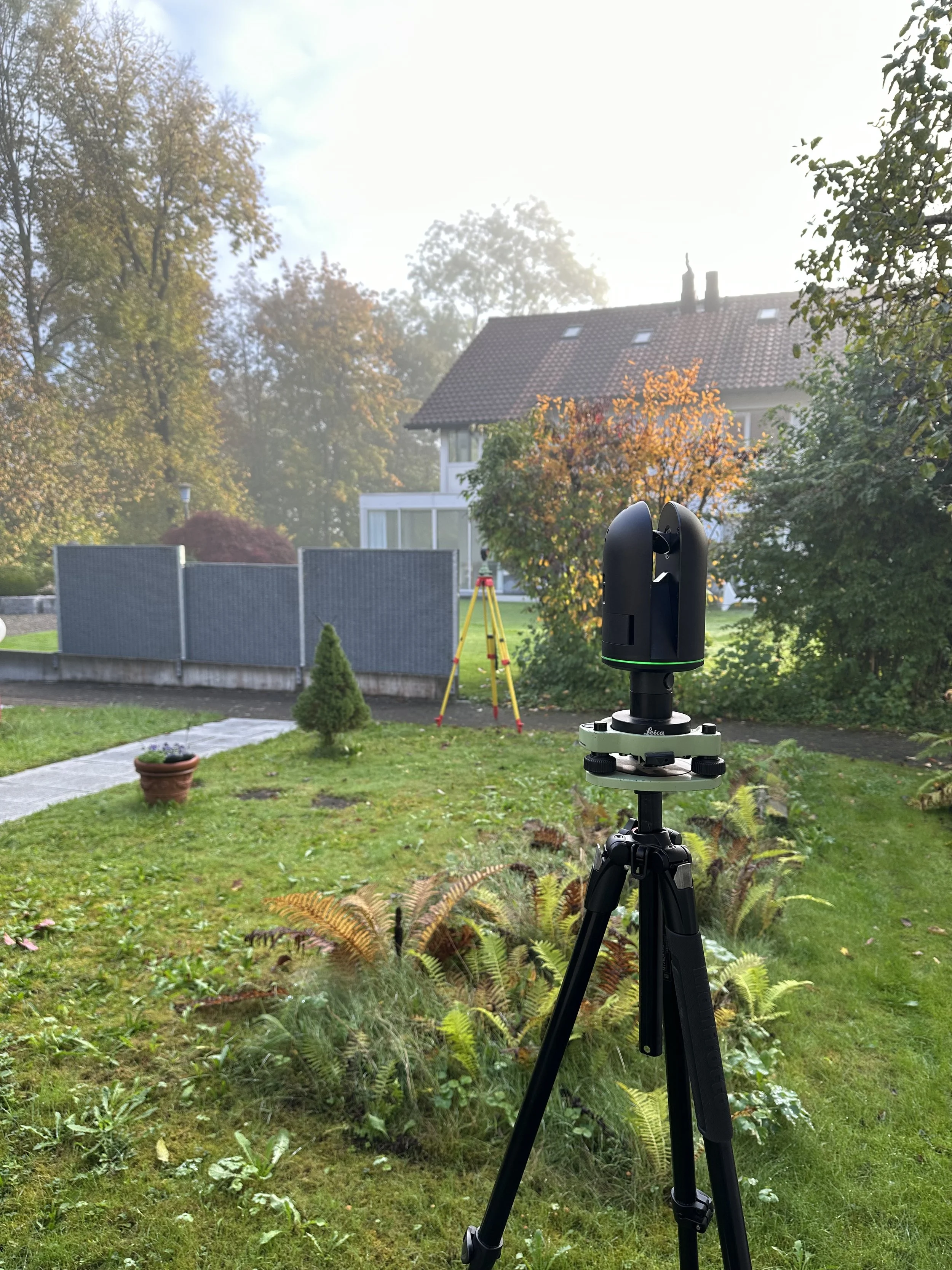
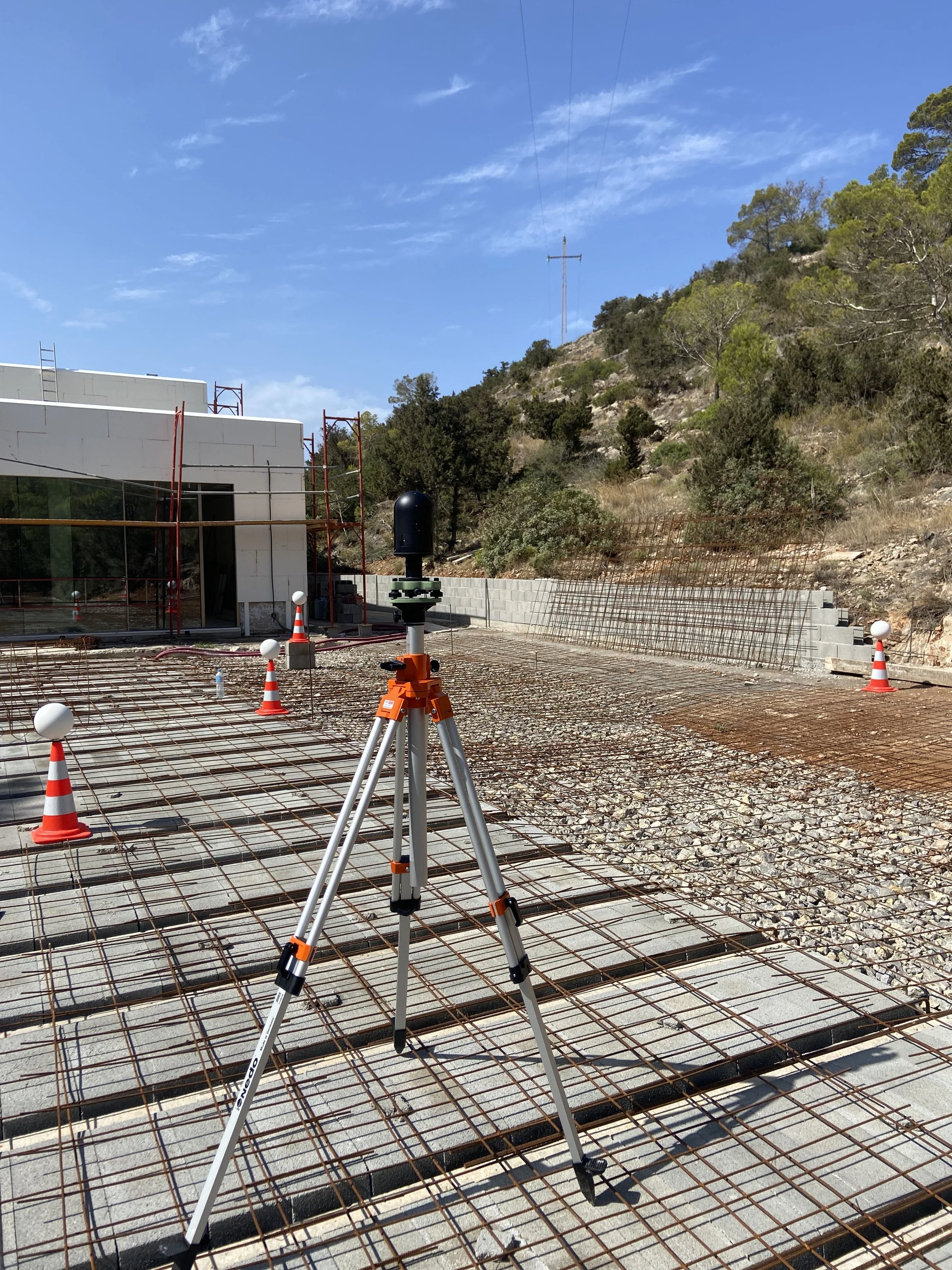
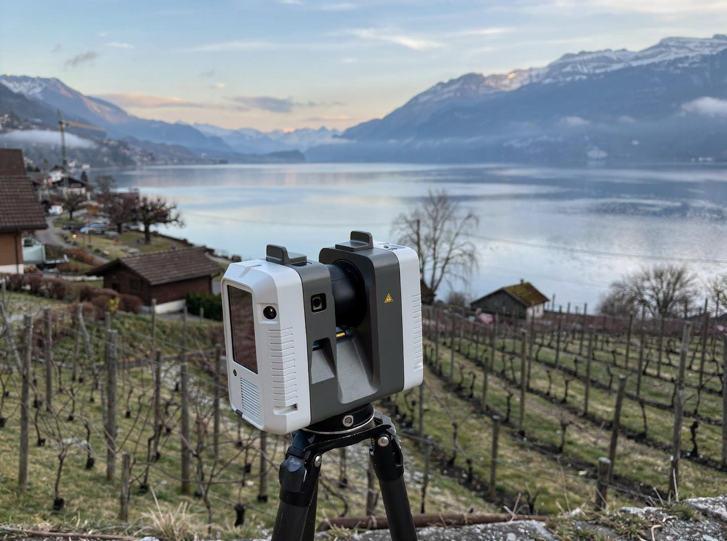
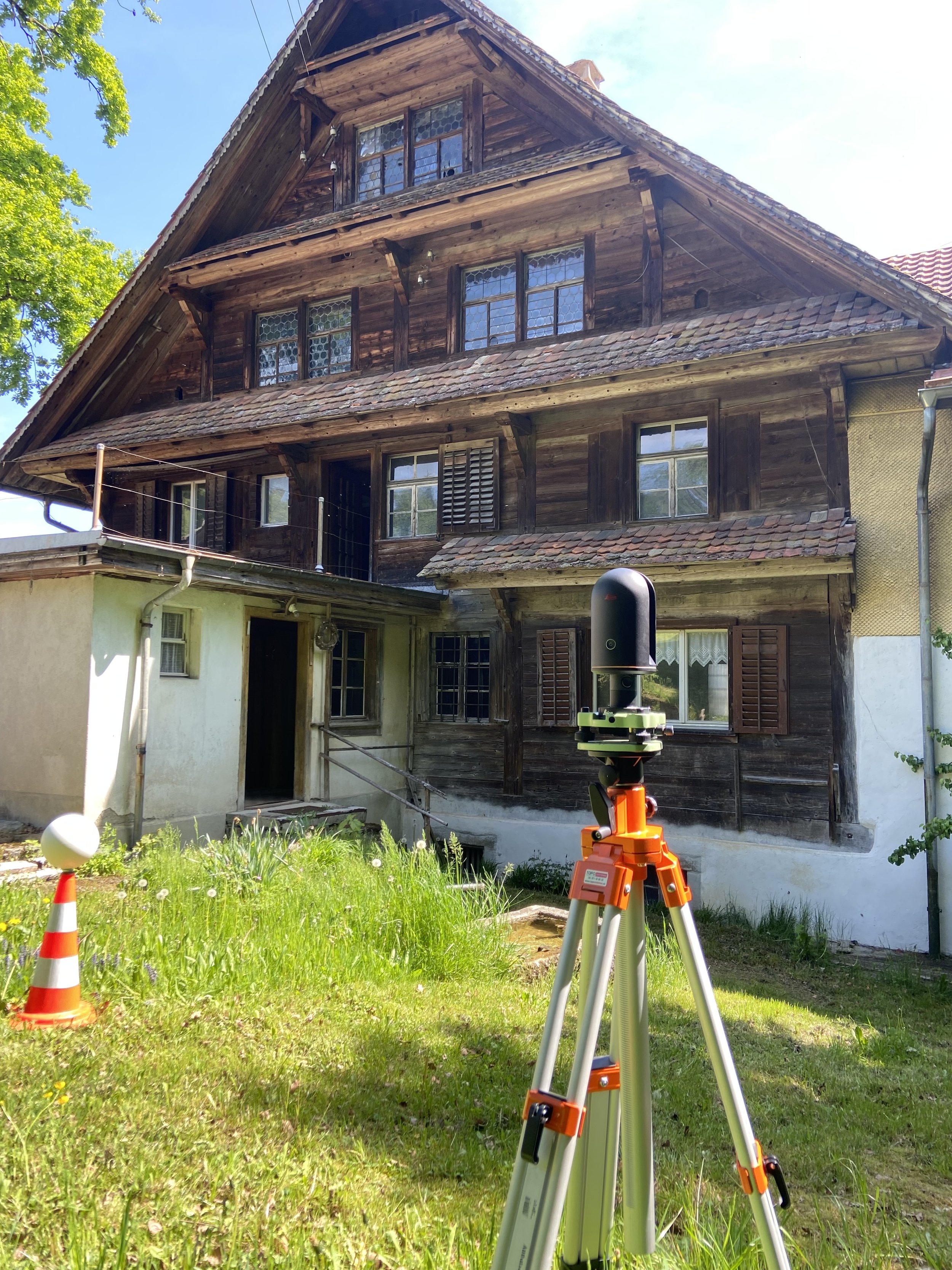
With 3D laserscanning technology, buildings, structures, and construction sites can be digitally measured with millimeter precision. To do this, a 3D laserscanner is mounted on a tripod and set up at different locations to scan all visible surfaces as completely as possible. The laser rotates around its own axis, capturing up to 2 million measurements per second.
The pointclouds from the individual setup stations are then cleaned up using powerful computers and special software and registered to a project pointcloud. This forms the basis for the subsequent evaluation to create 2D plans and 3D models in CAD. -
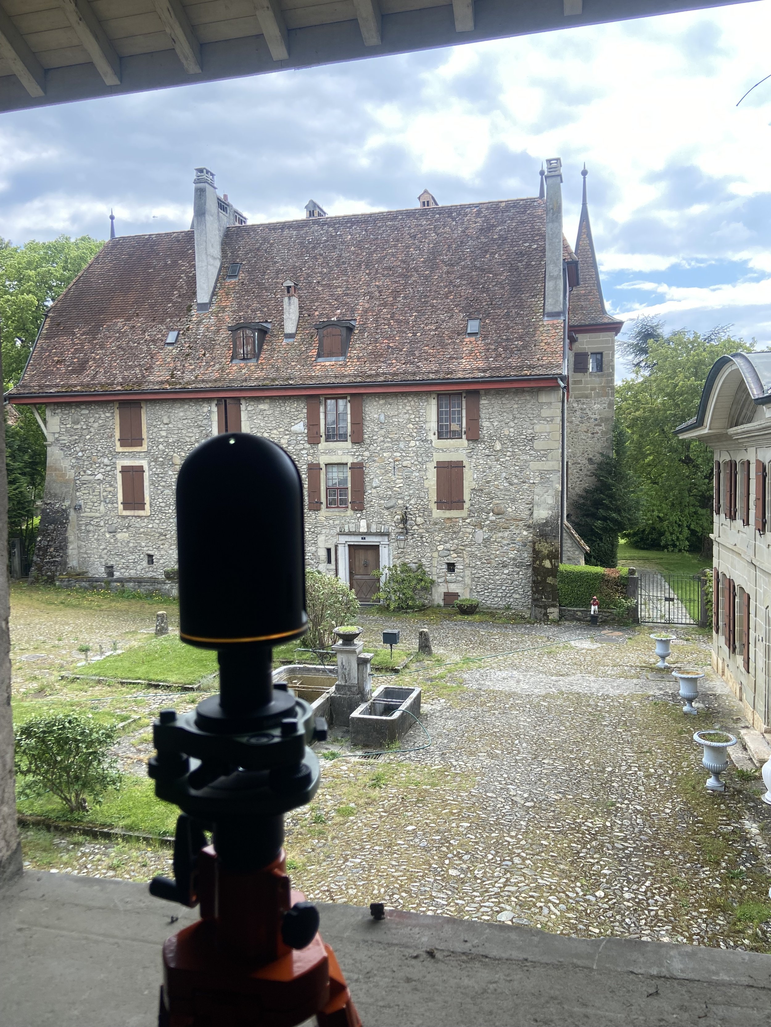
Totalstations operate with a single laser that is directed at the target to be measured. The totalstation can measure both the horizontal angle and the vertical angle, allowing the position and height of the point to be determined with maximum precision.
-
Drones are primarily used for surveying topography and roof landscapes. As it flies overhead, the drone generates countless photos, which are then evaluated using powerful computers and special photogrammetry software to create point clouds and orthophotos. The drone surveys large areas in a short time, but the measurement precision is significantly lower than that of a 3D Laserscanner.
-
A GNSS (Global Navigation Satellite System) receiver is a device that receives satellite signals from multiple satellite systems (GPS, GLONASS, Galileo, and BeiDou) to determine its own position. The absolute accuracy of position determination is typically in the range of several centimeters (XY 1-10 cm, Z 5-15 cm).