2D PLANS
BASED ON YOUR REQUIREMENTS, WE USE THE SURVEY DATA COLLECTED TO CREATE AS-BUILT PLANS AT THE DESIRED SCALE
Once the survey is complete and the survey data has been recorded, we will contact you to clarify the requirements for plan analysis in detail. Among other things, we will work with you to define any plan templates, section levels, reference points, and other project-specific parameters. This ensures that all relevant specifications are clearly defined before we begin drafting the plans—resulting in a product that adheres to the project-specific requirements in terms of layout, presentation, and structure, and integrates seamlessly into your existing plan structure. We will deliver the final plans to you in DWG and PDF formats.
-
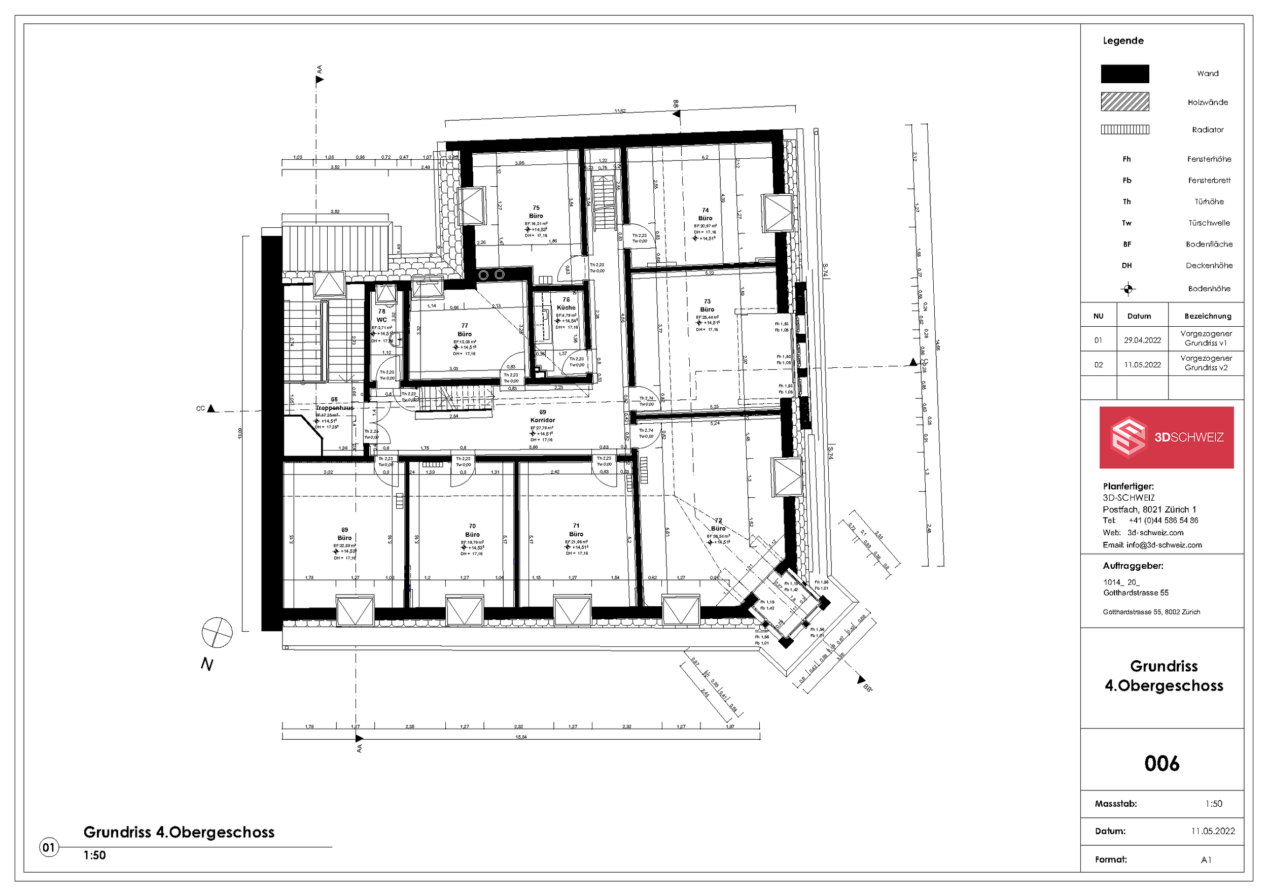
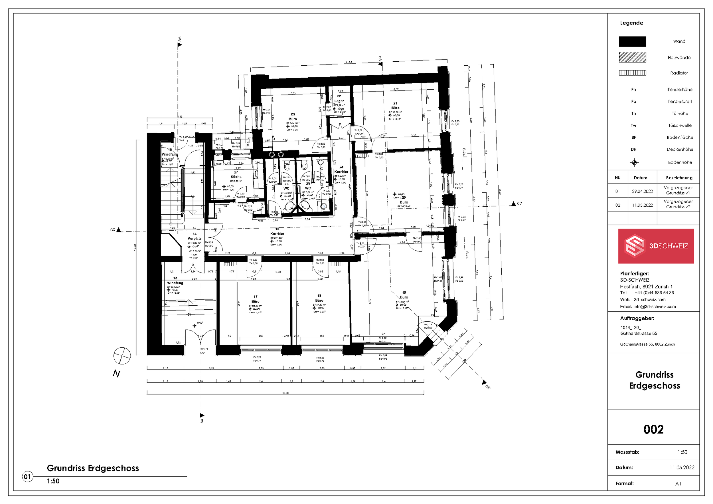
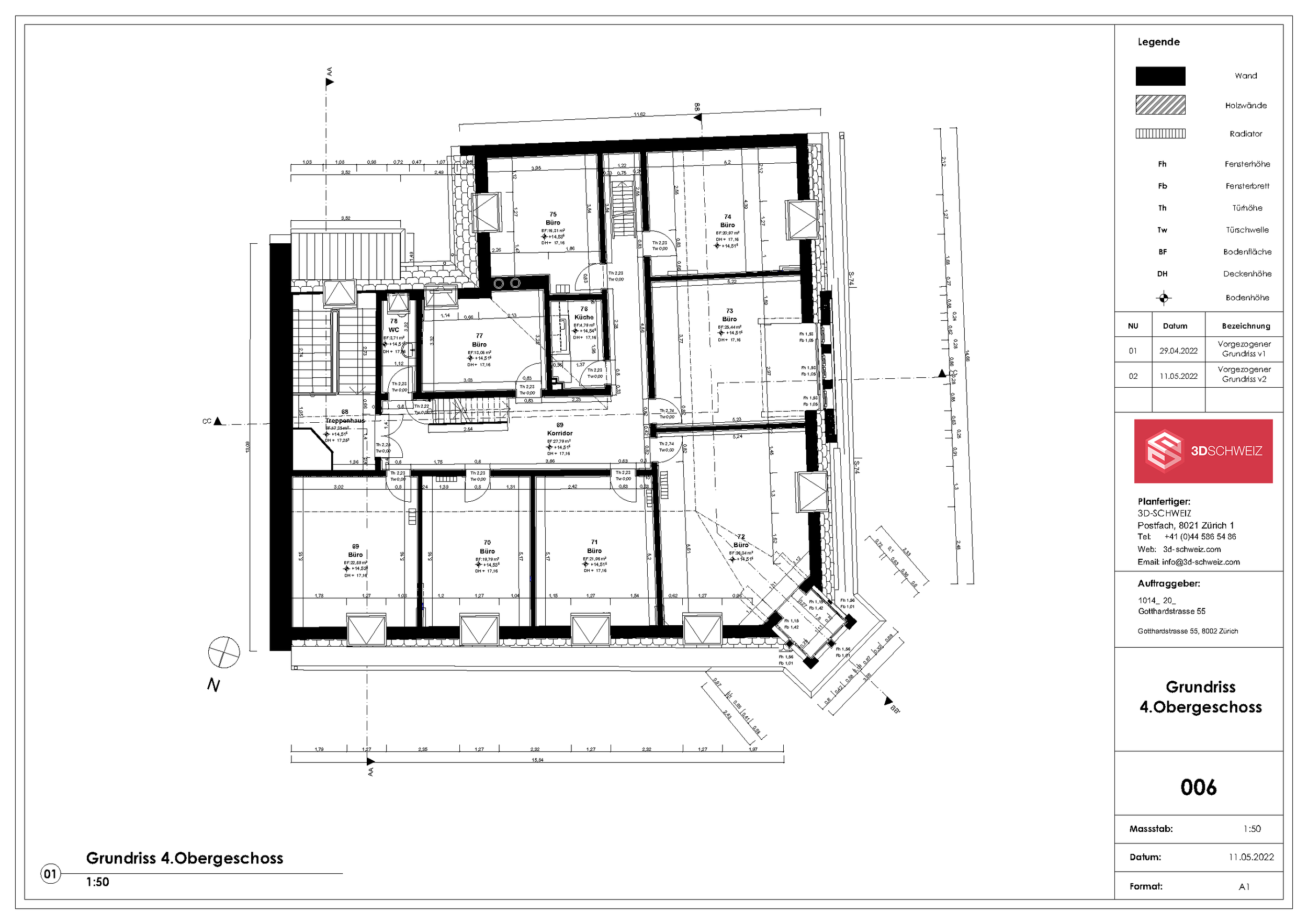
Floor plans are drawn directly from the point cloud at the desired scale and accurately depict the actual condition of the building—including slanted walls, varying wall thicknesses, and differences in elevation. The data captures walls, doors, windows, stairs, built-in fixtures, as well as plumbing and electrical installations. The section height is determined on a project-by-project basis, typically 1.30 m above the finished floor.
-
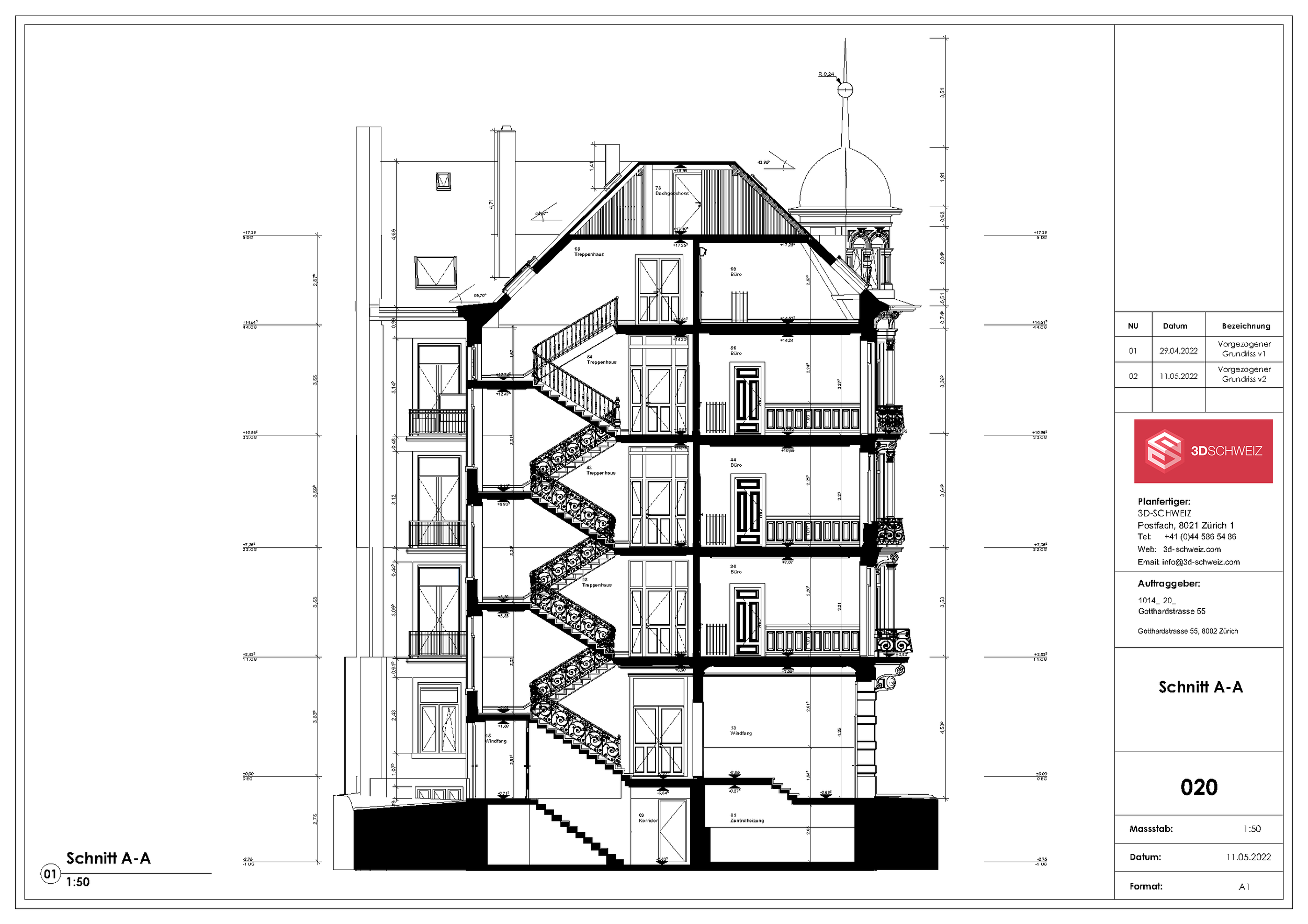
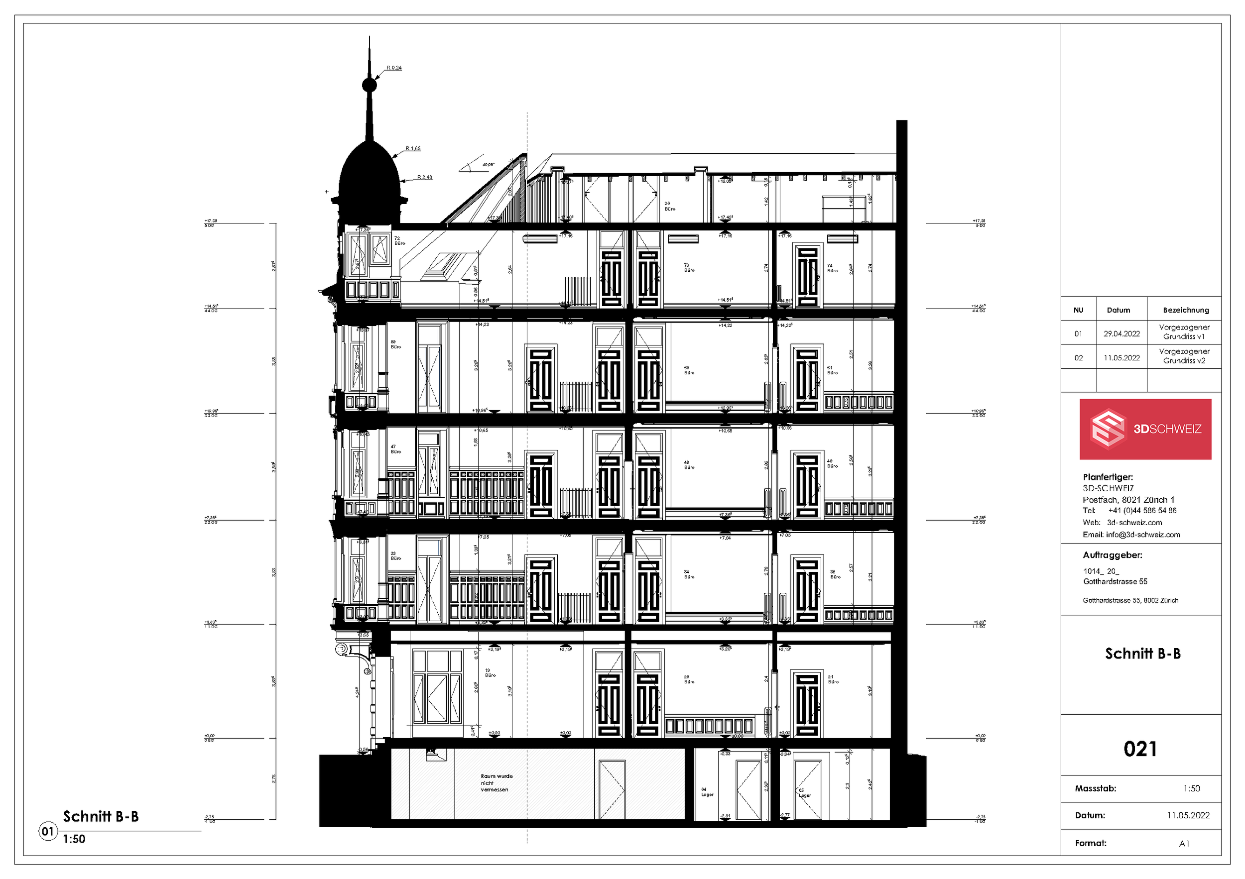
Sections show the vertical structure of the building: floor-to-floor heights, slab thicknesses, roof construction, stairwells, and level differences between floors. We determine the section locations together with you—typically through stairwells, atriums, or areas with complex geometry. The number and location of the sections depend on the planned intervention.
-
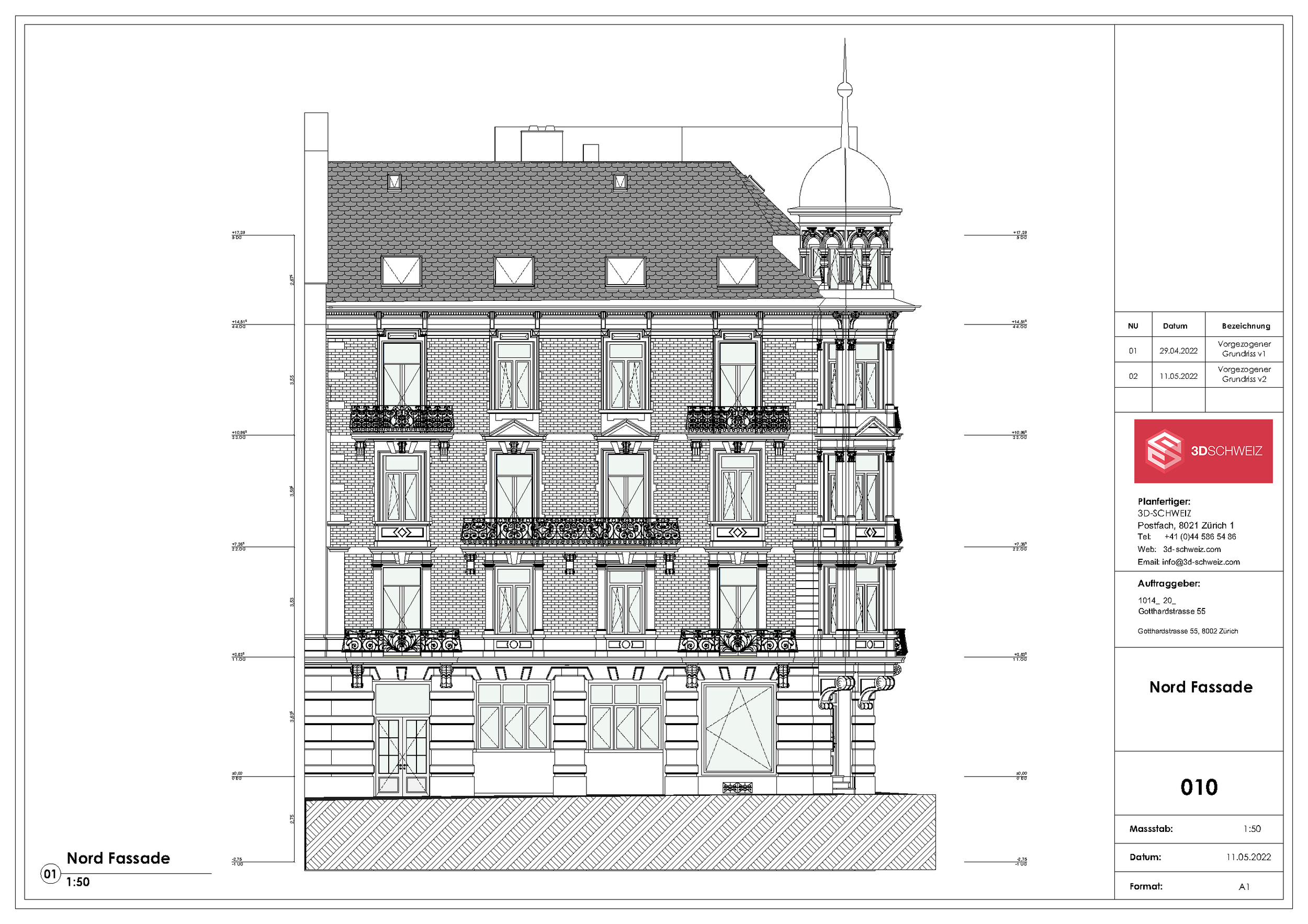
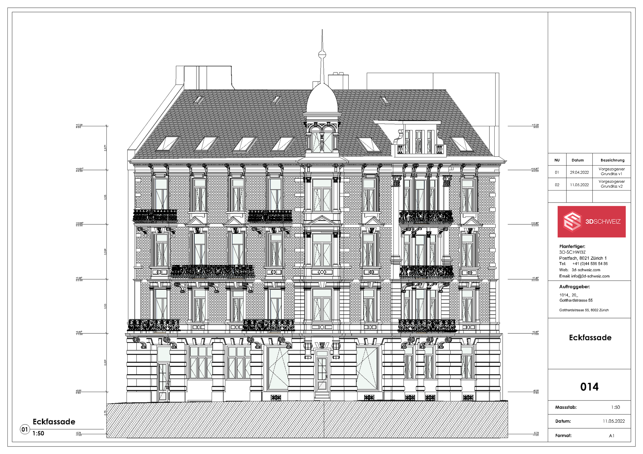
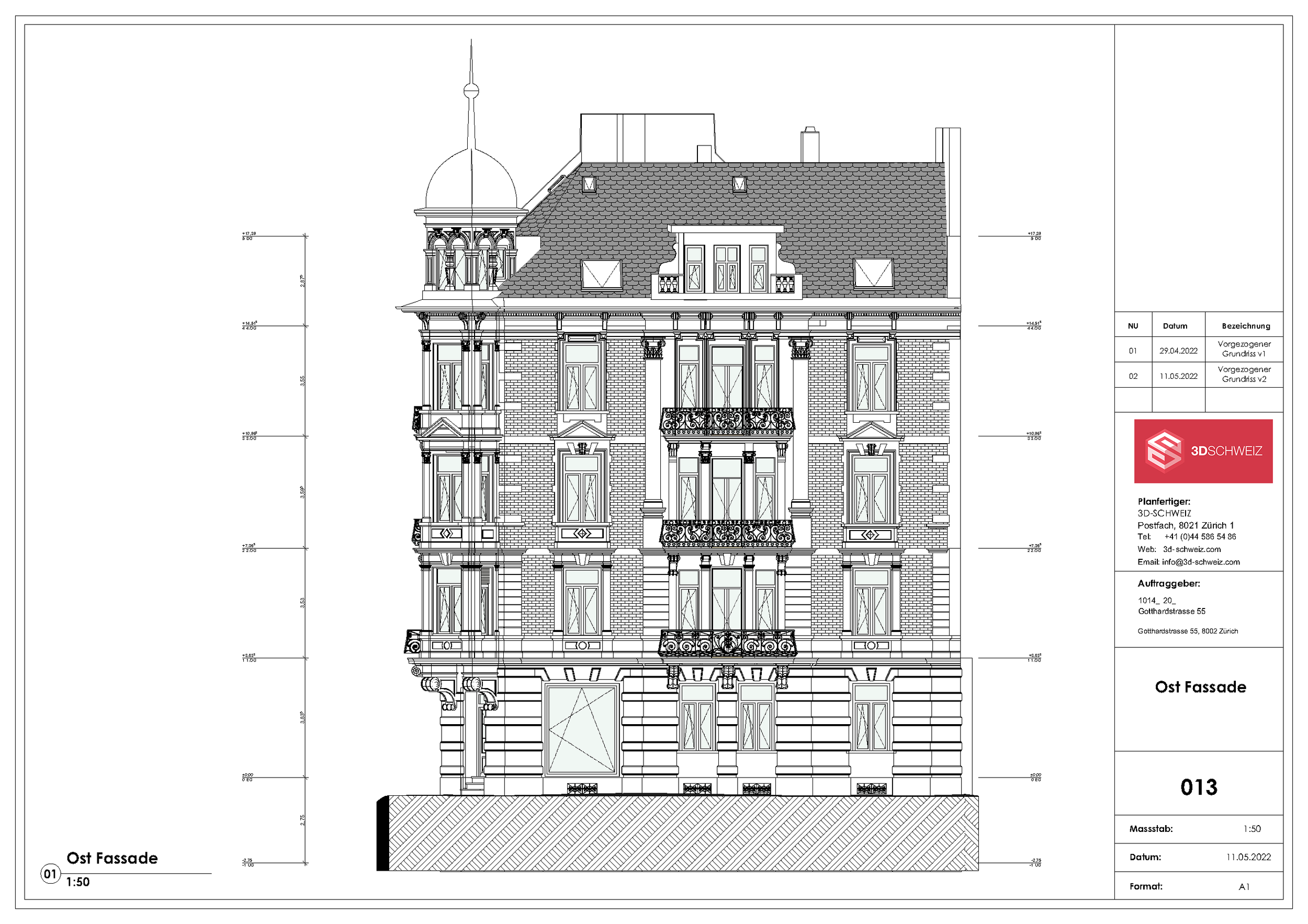
Facade views provide dimensionally accurate documentation of the exterior envelope: window axes and dimensions, cornices, balconies, parapets, and roof edges. For facades with intricate detailing or those designated as historic landmarks, the level of detail can be increased accordingly. The basis for this is scans of the facades, supplemented by drone imagery for roof surfaces and hard-to-reach areas.
-
Site plans show the building in the context of the lot: building outline, setbacks, access roads, paved areas, terrain contours, and landscaping. Upon request, we can georeference the data in the Swiss National Coordinate System LV95/LN02 so that the site plan can be directly overlaid with official maps.